
NWS INDIANAPOLIS IN (via VBN) - This is a message from NWS Indianapolis IN, automatically delivered using VBN`s weather alert system. For the latest in weather, check out VBN Weather. VBN`s weather alert system does not replace official emergency alerts—keep an eye on your cell phone and traditional TV/radio for urgent updates.
Description
At 1005 PM EDT, Doppler radar was tracking a strong thunderstorm near
Anderson, moving southeast at 35 mph.
HAZARD...Winds in excess of 30 mph.
SOURCE...Radar indicated.
IMPACT...Gusty winds could knock down tree limbs and blow around
unsecured objects.
Locations impacted include...
Muncie, Anderson, Alexandria, Yorktown, Pendleton, Chesterfield,
Albany, Edgewood, Frankton, Daleville, Parker City, Farmland, Selma,
Shirley, Ridgeville, Markleville, Kennard, Wilkinson, Sulphur
Springs, and Mount Summit.
This includes Interstate 69 between mile markers 221 and 245.
Instruction
If outdoors, consider seeking shelter inside a building.
Torrential rainfall is also occurring with this storm and may lead to
localized flooding. Do not drive your vehicle through flooded
roadways.
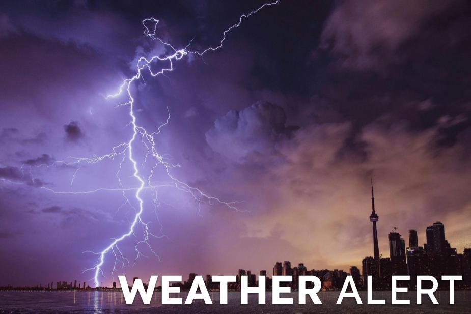
Special Weather Statement
Headline: Special Weather Statement issued August 16 at 10:05PM EDT by NWS Indianapolis IN
